How should residential architecture plans set floor elevations before excavation begins?
One benchmark controls every footing, threshold, utility connection, and finished floor that follows. Do not release excavation until the drawings connect that recoverable benchmark to a signed elevation schedule and defined field hold points.
Residential architecture plans must start from one recoverable vertical datum
Residential architecture plans must anchor every vertical dimension to one recoverable site benchmark tied to the survey datum, not an arbitrary stake or presumed curb elevation.
What makes a residential site benchmark usable during construction?
The boundary and topographic survey should identify the survey date, surveyor, vertical datum, benchmark elevation, physical description, contours, spot elevations, property lines, and visible drainage features.
- Place the benchmark beyond clearing, excavation, utilities, and material storage.
- State the units, rounding convention, and elevation notation.
- Define how temporary benchmarks are transferred and checked back to the controlling benchmark.
- Name who establishes, protects, verifies, and replaces the benchmark.
- Stop layout if the benchmark moves or disappears.
An assumed elevation such as 100.00 is acceptable only when every drawing uses it consistently
An assumed datum works only where flood, roadway, utility, zoning, or permit controls do not require official elevations. Architectural, structural, civil, landscape, and survey sheets must use the same datum or state one explicit conversion.
Finished floor must also mean a named surface. Requirements measured from that surface depend on it. For example, the 2010 ADA Standards place applicable dining and work surfaces 28 to 34 inches above the finish floor or ground. Finish selections also affect construction planning, and the U.S. Environmental Protection Agency recommends increased ventilation when products emitting volatile organic compounds are used indoors.
Which residential floor and site elevations must be fixed before excavation?
Before excavation, residential floor elevations must form one connected schedule covering occupied floors, garage and exterior slabs, thresholds, foundation tops, footing steps, grades, and utility connections.
How is finished-floor elevation converted into excavation and footing elevations?
- Missing floor assembly: Record finish thickness and slab, subfloor, or framing depth. Subtract the complete assembly from finished-floor elevation.
- Missing foundation stack: Continue through wall height, footing thickness, working space, and specified over-excavation.
- Unverified subgrade: Apply structural and geotechnical requirements for bearing soil, frost protection, groundwater, engineered fill, and unsuitable-soil removal.
Garage, porch, and entry elevations must be coordinated with door details
Show garage slab high and low points, drainage direction, overhead-door threshold, and separation at the house connection. Set each porch, stoop, terrace, deck, and landing against the sill detail and riser layout. Where accessibility provisions apply, preserve the required approach and maneuvering space. The 2010 ADA Standards use a 30 by 48 inch clear floor or ground space for wheelchair positioning.
Utility elevations can set the lowest practical floor before architecture does
Verify sewer or septic elevations, service slope, storm outfall, driveway tie-in, ditch, culvert, and right-of-way grades. Record these among the site and access decisions that belong in the architectural brief. If gravity service fails, document the pump requirement before changing the house elevation.
How should residential architecture drawings communicate elevation control?
The residential architecture set must repeat controlling elevations on the site, foundation, floor, section, and detail sheets. Each callout must name the measured surface and distinguish existing grade, proposed grade, structural elevation, and finished elevation.
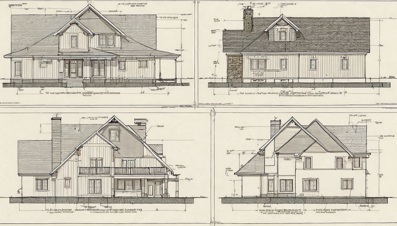
How should residential architecture drawings communicate elevation control shown as an editorial planning reference.
How should an elevation be indicated on a residential floor plan?
Use a level marker such as FF 100.00, top of finish, see 3/A5.1. Mark floor changes, depressed slabs, showers, garages, balconies, and thresholds. Written elevations govern over scaled measurements.
Architectural and civil elevation callouts must be reconciled before issue
Record who controls floors, grades, drainage, retaining walls, and utilities. List drawing dates and revisions. A discrepancy outside the specified tolerance requires a written RFI and an excavation hold.
Residential floor elevations must satisfy drainage, clearance, flood, and height rules
A workable floor elevation must satisfy the adopted code, local amendments, civil grading, geotechnical recommendations, flood requirements, driveway geometry, cladding clearances, and zoning-height method for the parcel.
What drainage and foundation-elevation rules apply to the residential site?
Use the local ordinance rather than a remembered national rule. King County Title 16, for example, identifies separate chapters for the residential code and clearing and grading. The elevation review must therefore follow every locally applicable approval path.
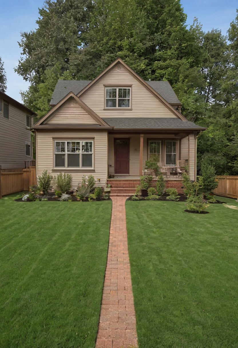
Residential floor elevations must satisfy drainage, clearance, flood, and height rules shown with practical context cues.
Flood-hazard sites require the lowest floor to follow the adopted flood standard
Record the effective flood map panel and date, flood zone, Base Flood Elevation where established, local freeboard, required design elevation, and construction-stage or final certificates. An assumed 100.00 datum cannot replace official flood elevations.
Local building-height measurements can change the permitted finished-floor elevation
Check zoning definitions for natural grade, finished grade, grade plane, basement, story, and roof measuring point. Raising the principal floor may improve drainage while adding entry risers or disrupting single-storey versus stacked-house massing.
A worked residential elevation schedule should expose every vertical dependency
A worked schedule starts at the benchmark, calculates downward to excavation, and extends outward to entries, grades, garage, driveway, and utilities. The following values are hypothetical, not universal requirements.
What columns belong in a residential elevation-control schedule?
1. Benchmark: 100.00 assumed datum, established and verified by the surveyor.
2. Main finished floor: 101.00, measured at the top of the specified finish.
3. Footing elevation: 97.75, derived from the structural floor and foundation stack.
Each entry should name its datum, source sheet, controlling document, responsible discipline, verifier, and hold point. Finish thickness belongs in that chain. The EPA identifies paints, varnishes, waxes, cleaning products, building materials, and furnishings as common indoor sources of volatile organic compounds, so material specifications also need coordinated installation and ventilation planning.
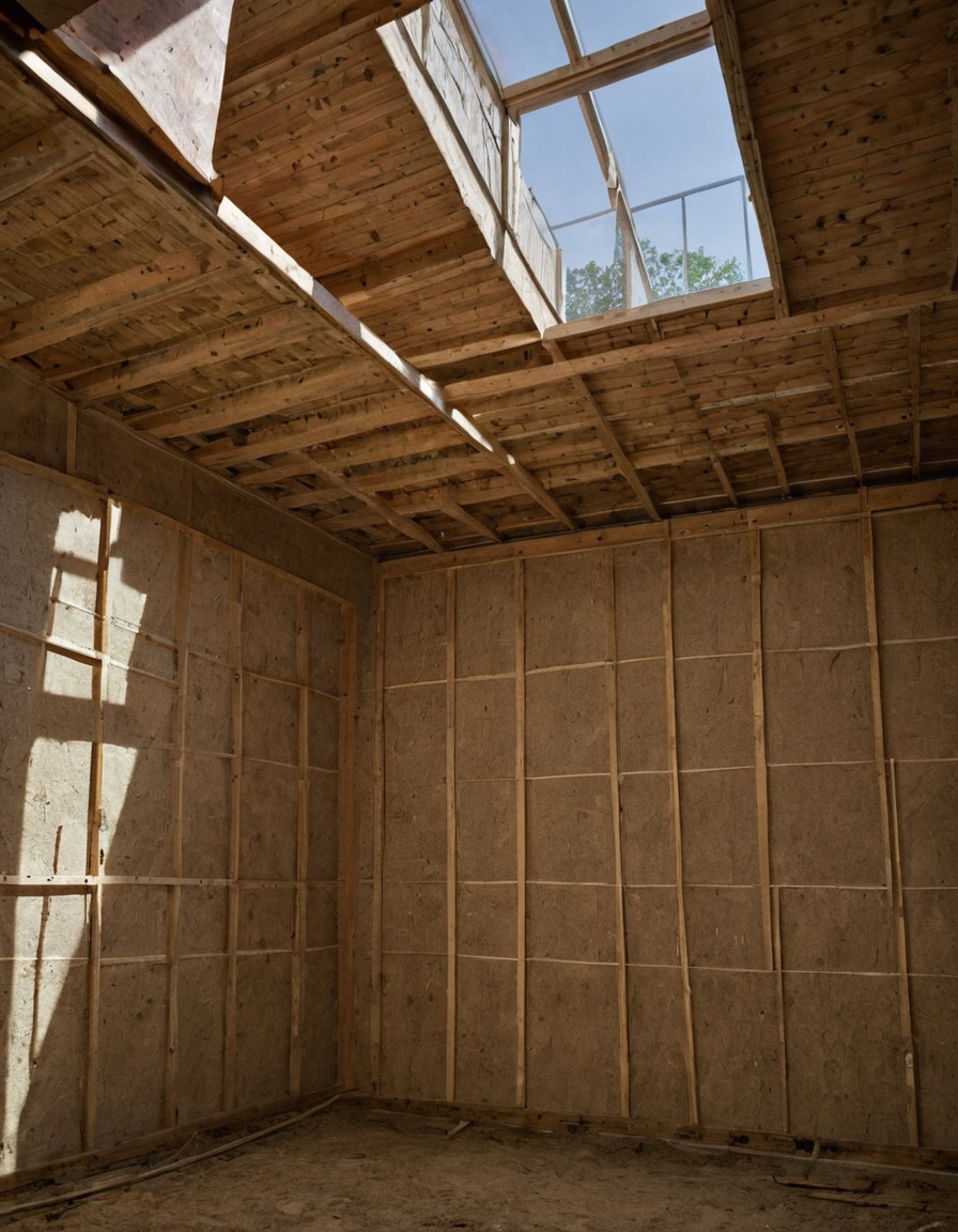
A worked residential elevation schedule should expose every vertical dependency shown as an editorial planning reference.
One floor-elevation change must be traced through the entire residential design
Raise the hypothetical finished floor from 101.00 to 101.50 and the foundation steps, entry risers, garage connection, cladding clearance, utility slope, driveway, and measured building height all require rechecking.
Who verifies residential elevations before excavation, footings, and concrete placement?
Residential elevation control needs written hold points. The surveyor verifies the benchmark, the superintendent controls releases, and each trade checks its work before the next irreversible operation.
Residential elevation hold points belong before irreversible work
- Before excavation: Record the benchmark, datum, instrument check, and required sign-off.
- After excavation: Check subgrade, bearing conditions, groundwater, and specified over-excavation.
- Before concrete: Verify footing bottoms, steps, forms, embeds, wall tops, and slab elevations.
- Before backfill or framing: Complete required permit, lender, flood, foundation, slab, or as-built surveys.
What should the crew do when field elevations disagree with residential plans?
Stop affected work. Record the benchmark, plan value, measured value, location, date, instrument, and photographs. Only the contract-named designer, engineer, civil consultant, or surveyor should authorize correction through written direction or revised drawings.
Common residential elevation-plan mistakes create predictable construction risks
The common failures are inconsistent datums, unlabeled surfaces, missing foundation steps, uncoordinated garage drops, assumed utility inverts, and grading drawn without verified boundary conditions.
What are the most common mistakes in residential elevation plans?
A datum mismatch can shift the whole house. An unlabeled finished-floor or top-of-wall callout can set formwork at the wrong surface. Missing steps on a sloping lot can produce excess excavation or exposed foundation. An assumed sewer invert can eliminate gravity fall. An unchecked garage threshold can direct water toward the house.
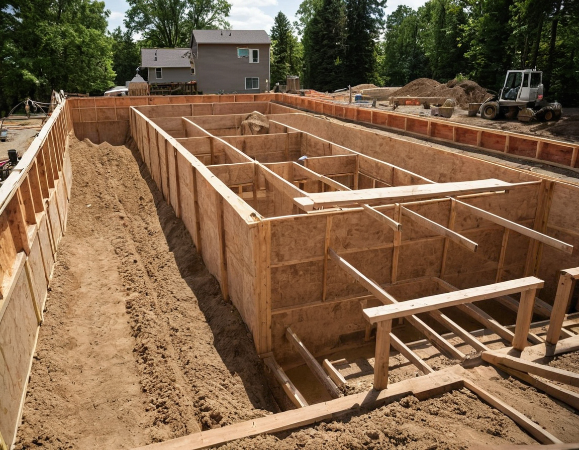
Common residential elevation-plan mistakes create predictable construction risks shown with practical context cues.
Finish-floor notation must also account for the actual material thickness. Maintenance instructions are separate from elevation control. For natural stone, the Natural Stone Institute recommends neutral cleaners, stone soap, or mild liquid dishwashing detergent with warm water and warns that abrasive powders or creams can scratch stone surfaces.
A pre-excavation elevation release should be a signed coordination record
- Current survey revision, datum, benchmark, and transfer point
- Floor schedule, grading plan, utility data, and geotechnical requirements
- Foundation plan, zoning-height check, and flood review where applicable
- Drawing numbers, revision dates, open exceptions, and hold points
- Acknowledgments from parties assigned responsibility by the contract
Release excavation only when this record is complete. If one controlling elevation remains assumed or contradictory, stop the machine and resolve it before concrete makes the error permanent.
Field FAQ
How should an elevation be indicated on a residential floor plan?
Show a level marker with the elevation, datum reference, named surface, and detail reference. Identify whether the value means top of finish, top of slab, top of subfloor, or another structural surface.
What are the most common mistakes in residential elevation plans?
The usual errors are mixed datums, missing surface labels, omitted floor assemblies, uncoordinated garage and entry drops, assumed utility elevations, and unchecked grading or building height.